Diagnostic that Integrates Optical, infrared and Synthetic Aperture Radar data
DINOSAR is a three-year EU-funded project aiming to develop the Copernicus based algorithms to support smart farming applications that can be used worldwide, even on cloudy areas.
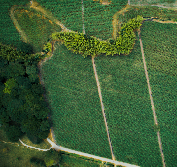
With the Earth Observation based services, our project will support farmers to match agricultural inputs (fertilisers, pesticides, water) to what the crop needs, decreasing their environmental footprint. To develop this technology, we will focus on one specific case-study: the sugarcane crops in Colombia.
About DINOSAR

Consortium
6 partners
4 countries

Duration
3 years

Start-End Date
01.01.2024
31.12.2026

Budget
1.5 millions €

Our technology
The DINOSAR project will set up an innovative technology based on complementary data that will enable a complete algorithm for agricultural monitoring. The research methodology will be based on the integration of satellite imagery (Copernicus) of sugarcane fields, meteorological data and field measurements of crops.
Impacts
While developing algorithms helping smart farming application, within its duration, the DINOSAR project will tackle several challenges.

Our latest news
Latest news from the fieldwork in Valle del Cauca
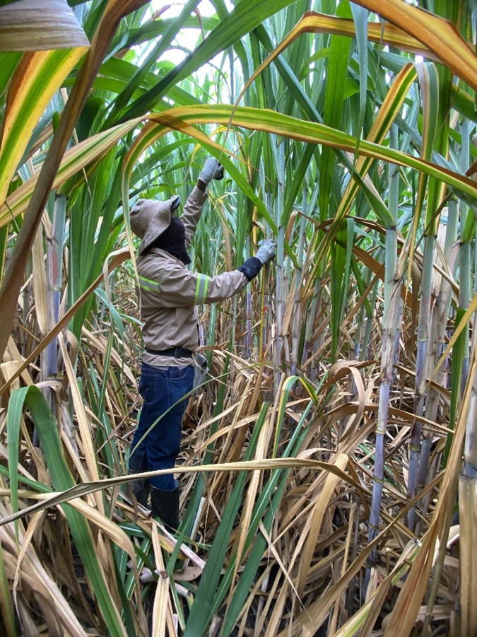
The data-collection campaign used as the reference for algorithm comparison began in July 2024 and was deployed across 24 farms belonging to the Providencia and Manuelita sugar mills. A total... View Article

DINOSAR presented at the EuroGEO Workshop 2025 🚀
On 13 October 2025, our partners Corné van der Sande, Andrea Idrovo, and Mark Noort from eLEAF and HCP International had the opportunity to present a poster about the DINOSAR... View Article
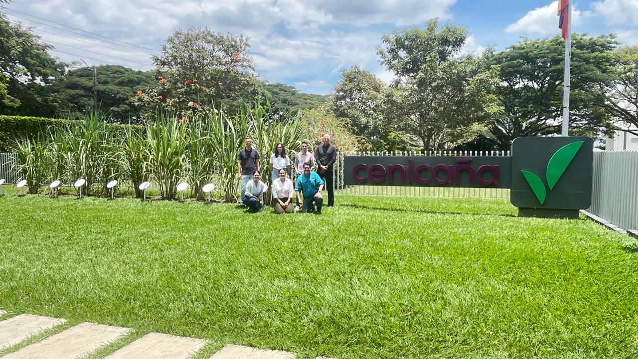
A day to meet the future end-users of the technology developed by DINOSAR, in Colombia
In January and May 2025, we wrote two news articles about end-users and the methodology developed by DINOSAR to address their specific needs: Productive Meeting Between DINOSAR and Cenicaña: Advancing... View Article