Diagnostic that Integrates Optical, infrared and Synthetic Aperture Radar data
DINOSAR is a three-year EU-funded project aiming to develop the Copernicus based algorithms to support smart farming applications that can be used worldwide, even on cloudy areas.
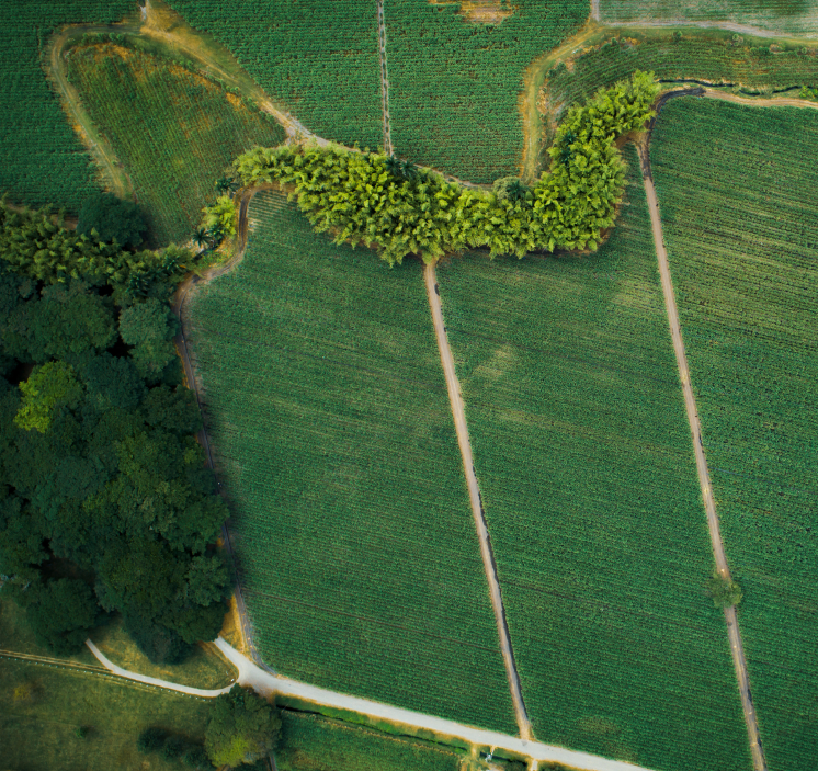
With the Earth Observation based services, our project will support farmers to match agricultural inputs (fertilisers, pesticides, water) to what the crop needs, decreasing their environmental footprint. To develop this technology, we will focus on one specific case-study: the sugarcane crops in Colombia.
About DINOSAR

Consortium
6 partners
4 countries

Duration
3 years

Start-End Date
01.01.2024
31.12.2026

Budget
1.5 millions €

Our technology
The DINOSAR project will set up an innovative technology based on complementary data that will enable a complete algorithm for agricultural monitoring. The research methodology will be based on the integration of satellite imagery (Copernicus) of sugarcane fields, meteorological data and field measurements of crops.
Impacts
While developing algorithms helping smart farming application, within its duration, the DINOSAR project will tackle several challenges.

Our latest news
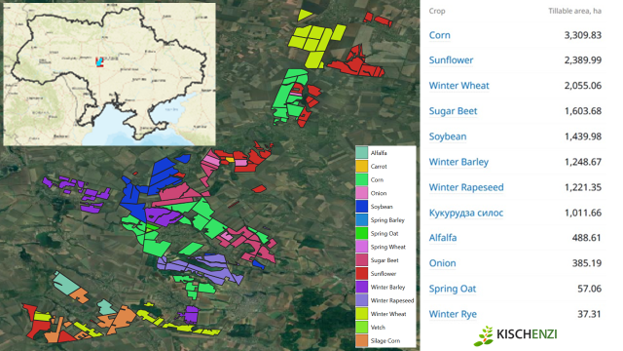
DINOSAR roadmap: Testing our integrated biomass algorithm for key crops in Central Ukraine
DINOSAR has developed an integrated algorithm to estimate biomass. It combines optical and radar satellite-based modeled biomass estimated with an evolutionary model based on field measurements. A Kalman filter decides... View Article
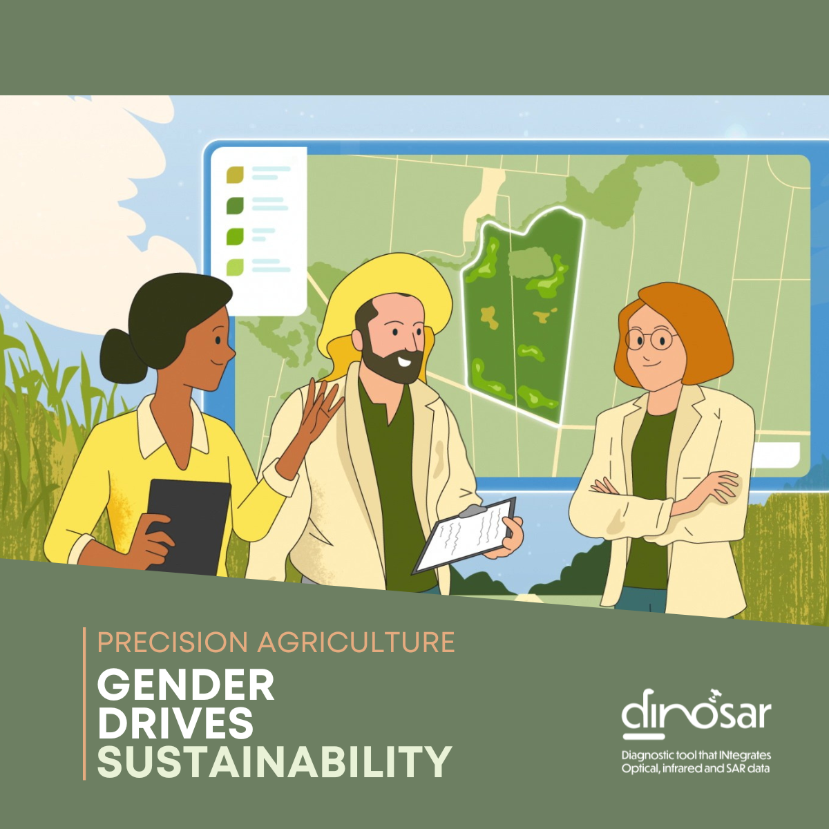
[Gender & Agriculture] Voices of change: Women driving agricultural innovation in Colombia (2/2)
As digital technologies continue to reshape agriculture, women professionals are playing an increasingly important role in bridging innovation with the realities of the field. In Colombia’s sugarcane sector, remote sensing,... View Article
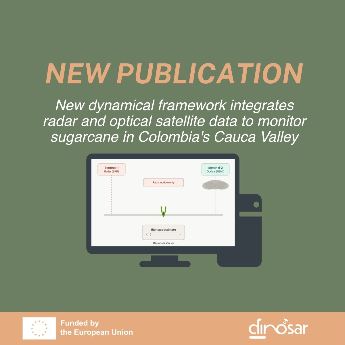
New dynamical framework integrates radar and optical satellite data to monitor sugarcane in Colombia’s Cauca Valley
DINOSAR is proud to announce the publication of its first scientific paper, led by the University of Alicante, with support from eLEAF, SarVision, and AgroAp. Published in the IEEE Journal... View Article